
Farragut Block Sources, Parcel by Parcel
Public evidence about a block is parcel-centered. The KGIS parcel map can show the shape, identifier, owner report, and layers around a selected property. The Knox Assessor and Register of Deeds contribute current property and recorded-transfer context. Historical directories can sometimes add an occupant or subscriber for a specific year. Each source answers a narrower question than “who lives nearby,” and none should be stretched beyond that limit.
| Block source | What it can show locally | Access route |
|---|---|---|
| KGIS parcel map | Adjacent parcel geometry, parcel ID, owner/address reports, subdivision, and map layers | Free interactive viewer |
| Knox Assessor | Current owner, situs, mailing address, and assessment information where available | Property Lookup; live fields were unavailable during inspection |
| Register of Deeds | Transfers, plats, easements, liens, and legal descriptions affecting a parcel | Office and request channel |
| Town permit PDFs | Address-keyed activity in annual reports from 2013-2026 | Farragut report archive |
| Historical directories | Dated occupant or subscriber clues by name or address when a relevant volume exists | McClung reference collection |
Start with the map because it gives a repeatable boundary for the question. A recorded owner is not necessarily the current occupant. A different owner mailing address may reflect a correspondence choice, an estate, trust, or another circumstance. Record it as a lead, not a conclusion about nearby households.
Farragut Parcel First, Person Later
KGIS searches by address, parcel, owner, place, and several advanced modes. Its address geocoder works best when city, state, and ZIP are omitted, because it uses official county address points instead of a range estimate. A score of 100 can auto-locate; otherwise choose the correct official address result. The map's full address details can report the owner name and mailing address, along with acreage, subdivision, deed information, wards, school zones, and political districts.
- Parcel
- A mapped property unit with an identifier used by county records.
- Situs
- The property’s physical address in assessment and map records.
- Owner mailing address
- The correspondence address for the owner. It can differ from the situs and does not show all occupants.
- Legal description
- The lot, block, subdivision, or metes-and-bounds language that identifies the property in recorded documents.
Capture the parcel ID before opening any adjacent parcels. That one identifier makes it easier to separate a nearby lot from the target when streets curve, units share a number, or a subdivision contains small common parcels.
Note: KGIS labels and boundaries require independent verification, so a map view alone is not a survey or title conclusion.
Map a Farragut Block in KGIS
The parcel-by-parcel method stays focused on the immediate block. KGIS supplies address, parcel, and owner searches, plus a map selection workflow that makes adjoining property visible. For a whole named street's current and historical trail, use the Farragut street directory; the narrower process below keeps the work tied to one selected parcel and its direct surroundings.
- Enter the target address in KGIS Address search and select the official address point.
- Open the parcel's map or details report and note its ID, situs, subdivision, owner report, and legal or deed clues.
- Pan or zoom one parcel at a time, selecting each adjacent parcel rather than assuming map labels belong to the same property.
- For a parcel that needs confirmation, compare the Assessor route and request the relevant recorded instrument using the owner, legal description, and approximate date.
- Save the source date and distinguish recorded ownership from a current household claim.
This is a process flow, not a block roster: address to parcel, parcel to owner report, owner and legal description to deed request, then a dated archive or directory check when the historical question warrants it.
Note: Work from the target parcel outward and record each selection separately, since adjacent map labels can represent distinct lots or common areas.
Farragut Block Layers and Buffers
KGIS adds context around a target parcel with neighborhoods, ZIP codes, roads, schools, zoning, flood, political districts, parks, existing land use, and historical aerial layers. The viewer also lists 500- and 1000-foot buffers under its map and selection context. The exact activation sequence was not verified in the research, so treat the buffer as a visual research aid and confirm the result through individual parcel selections.
Historical aerial layers provide a useful local timeline: layers are available for 1935, 1953, 1959, 1969, 1985, 1995, 1996-98, 1998-2001, 2003, 2007-10, 2013-20, 2022, 2024, and 2026. They can show a road, structure, or land-use change across time. They do not identify a neighbor or prove that a person lived at a location.
KGIS viewer help documents the search syntax and map tools. Retain the layer date with any note so the map is not mistaken for a current ownership record.
Farragut Mailing Lines and Parcels
Three labels can describe the same place differently: the situs address, owner mailing address, and legal description. The parcel's situs is where the property sits. The mailing line is where tax or assessment correspondence goes. The legal description is what binds a recorded instrument to the parcel. A difference between the first two is common enough that it should never be read as proof of absence, residence, or a household relationship.
For a deed, the Register's copy instructions ask for useful locating details such as an owner name, legal description, and approximate recording date. Match lot, subdivision, acreage, and exceptions before connecting one document to the next. A plat can clarify lot geometry, but an easement or partial conveyance may still affect only part of the mapped area.
Farragut Voter Checks Are Not Browses
Tennessee's Voter Lookup is an identity-based registration match. It requires Knox County, first name, last name, birth month, and birth year. It is not a public street or block browser, and a no-match does not prove that someone is not nearby. The research reported state data current through August 25, 2026, a reminder that any registration result needs a search date.
The Knox County Election Commission's full voter-data USB costs $40 and requires political-purpose certification. The restriction matters: that file is not a general neighborhood tool. A person seeking a current registration question should use the match tool, then contact the Election Commission if the result needs official clarification. Do not publish birth data, protected addresses, or ballot information.
Note: Registration evidence is a limited, time-sensitive signal and should never substitute for a parcel record or a resident interview.
Farragut Community Layers Without Rosters
Public map context can make a block easier to understand without turning private groups into a directory. KGIS includes a Neighborhoods layer and a Knoxville Neighborhood Groups viewer. Farragut's downloadable maps show wards, subdivisions, development, zoning, school zones, roads, and parks. Neither source establishes membership in an association, congregation, club, or block-watch group. No authoritative Farragut-wide membership directory was located in the research.
| Public community resource | What can be checked | What it cannot establish |
|---|---|---|
| KGIS neighborhood layer | Mapped neighborhood or group geography where available | Private membership, household contacts, or a roster |
| Farragut maps | Wards, subdivisions, roads, development, and other municipal geography | Who belongs to a private association |
| Museum and Heritage Trail | Historic place-name and site context | A current block directory |
Public meeting notices, newsletters, local histories, cemetery records, and newspaper announcements may preserve a historical name and date. Preserve the source and avoid reproducing private contact details or inferring membership from a subdivision name.
Farragut Official Block Records
Official records and compiled neighbor products serve different purposes. A map, deed, or archive record has a named custodian and a date. A compiled profile can merge sources that were current at different times. Use a compiled result only as an unverified lead, then return to the property custodian for any fact that matters. That reduces same-name errors and stale-address mistakes.
| Source type | Best use | Important limit |
|---|---|---|
| KGIS and Assessor records | Identify a parcel, situs, current owner report, and map context | Do not show every occupant or control a legal boundary |
| Recorded deeds and plats | Test a transfer and legal description through the custodian | Do not create a complete household list |
| Compiled neighbor products | Provide a possible lead that must be checked independently | May merge people, retain old addresses, or omit source context |
A recorded document may name a trust, corporation, or other entity instead of an individual. The current Tennessee business portal is pictured below because it is the official route for checking a filing name when an instrument itself supplies that name. It is not a Farragut neighbor directory, and its dynamic fields were not fully verified in the research.
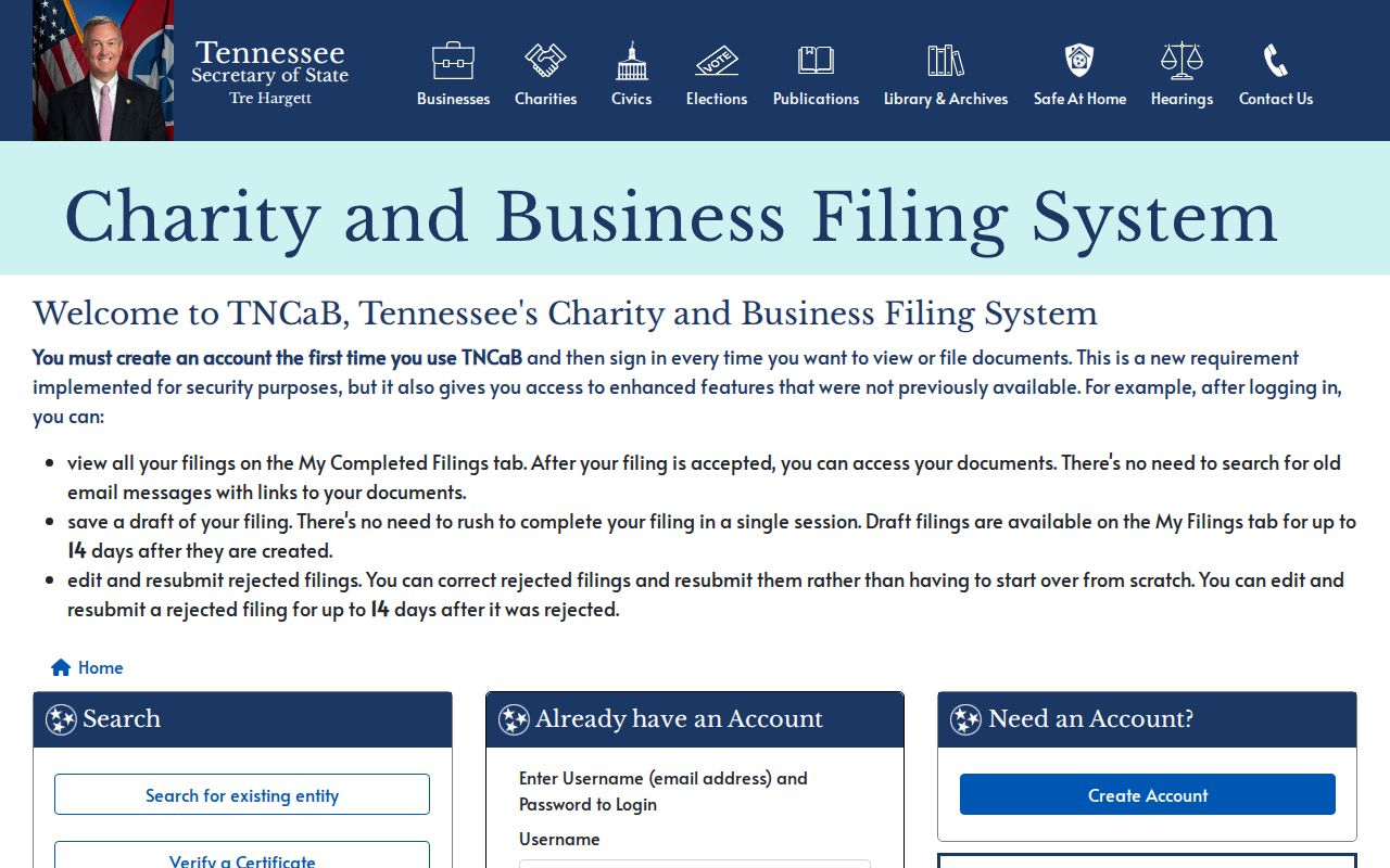
When an entity appears in a recorded instrument, preserve the document number and date first. A filing search can clarify the entity record, but it cannot establish who lives on a block.
Farragut Blocks Before Incorporation
Farragut incorporated in 1980, so older address evidence may use Knox County, Knoxville, Concord, Campbell Station, or a road label instead of the modern town name. The local story matters when searching an old block: Campbell Station Inn and the 1863 Battle of Campbell Station preserve place names that can bridge historic material, but they do not prove that an old address matches a modern parcel.
Use the legal description, subdivision, cross streets, historic aerial, directory spelling, and recorded deed chain together. The 1953 pre-urban-renewal map uses directory occupants and is useful for Knoxville-focused history, not an all-Farragut roll. Treat its coverage boundary as part of the evidence.
Farragut Neighbor Privacy Limits
A public parcel picture can show recorded ownership, site and mailing distinctions, map layers, historical directory entries, and some permit or court references. It does not automatically disclose all household members, visitors, current occupants, protected voters, utility customers, delivery recipients, or private association members. Tennessee's Safe at Home program provides a substitute address for eligible participants, and other records have separate confidentiality rules.
If a record seems wrong, ask the custodian about correction or redaction procedures. The Tennessee Secretary of State is the official starting point for Safe at Home information. Request only the fields needed for a specific record question, and keep the result's source date with your notes.