
Farragut Previous Residents by Era
One address history uses sources that answer different questions. KGIS Maps is the current anchor: it can connect an address to a parcel, owner report, subdivision, and deed clues. The Knox County Register of Deeds holds the instruments that change a legal interest. McClung directories and federal census schedules add the household layer. None is a complete list of everyone who lived at a property, so the best trail records what each source actually says and where its coverage ends.
| Historical source | Period available | Custodian or access | Address-history evidence |
|---|---|---|---|
| Recorded Knox instruments | Late 1700s to present in office history | Register of Deeds, with older series at Archives or TSLA | Transfers, plats, liens, easements, and legal descriptions; public online cutoff was not verified |
| KGIS parcel layer | Current layer inspected in 2026 | KGIS | Parcel ID, site address, owner report, subdivision, and map context |
| Knoxville city directories | 1859-60 photocopy and cataloged runs through 2025, with a 2009 gap note | McClung Collection | Names, address lines, relationship notes, occupations, and directory-year context |
| Federal census | 1790-1950 generally open under the 72-year rule | Archives, library databases, or federal research services | Household composition and historical geography, which may not match modern town limits |
| Town permit reports | 2013-2026 | Farragut annual PDFs | Address-keyed project activity; inspect the particular report before relying on a field |
For a recent transfer, start with the current parcel and request the purchase instrument. For an older household question, test a directory year against the nearest open census. Once the available web trail stops, use the reading room or a narrow copy request instead of guessing an online cutoff.
Anchor Farragut's Parcel History
Search the address in KGIS without adding city, state, or ZIP at first. The official geocoder uses county address points, not simple street ranges. Select the correct result, then save the parcel ID, situs address, subdivision, owner report, and legal or deed information shown with the parcel. KGIS distinguishes the situs, meaning the physical property location, from the owner's mailing address. A mailing address can be useful for following a record, but it does not establish who occupied the house.
- Parcel ID
- The identifier assigned to a mapped property. It keeps the research tied to one parcel when address labels change.
- Situs address
- The physical address used by parcel and tax authorities for the property.
- Legal description
- The lot, block, subdivision, or metes-and-bounds wording used in a deed. It is often more stable than a mailing line.
- Chain of title
- The sequence of recorded instruments that transfers or affects an interest in the same property.
Save the exact spelling and date beside every result. The map warns that labels, dimensions, and boundaries need independent verification. A survey or title source, not a map screen, controls a legal boundary conclusion.
Note: Parcel geometry is a sound research starting point, but it cannot prove a boundary, an occupant, or a complete household.
Trace Farragut Previous Residents Through Deeds
A deed begins the property trail rather than ending it. It may identify a prior owner, an heir, or another party to a transfer, but it does not establish a complete household. The Register's deed-copy guidance directs a requester to identify the property through KGIS, then use an owner name, legal description, and approximate recording date to locate a copy. The recorded document can name the parties and establish a transfer date. Its legal description is the safeguard against confusing one seller's other parcels with the target property.
- Use KGIS to capture the current owner or grantee, parcel, subdivision, and legal description.
- Ask the Register of Deeds for the purchase deed using the current grantee, legal description, and approximate recording date.
- Record the grantor, the person or entity transferring the interest, and the grantee, the person or entity receiving it.
- Search that grantor as an earlier grantee, then compare the same lot, acreage, subdivision, and exceptions before accepting a match.
- Repeat backward until the available deed books or indexes end, then ask Knox County Archives, McClung, or TSLA about older series.
The Register lists historical records beginning in the late 1700s, but the research did not verify a public online deed-index cutoff. Most common recorded documents of up to two pages are listed at $12, extra pages at $5, and certified copies at $1 per page on the office fee guidance. Request only the document needed, and confirm the current fee before ordering.
Note: The unverified online cutoff means a missing web result should lead to an office or archive request, not a conclusion that no deed exists.
Farragut's Online Trail and Archives
The absence of a verified online index is itself useful information. It means the reliable fallback is a specific request, not an assumed search screen. Knox County Archives holds permanent county land, tax, marriage, probate, court, and related records from the county's 1792 founding. Staff can assist in person, by mail, email, or phone. Cameras are allowed in the reading room, though the Archives says it has no scanners.
A request works best when it names the person or parcel, approximate dates, record type, and document number if known. Tennessee Public Records Act guidance explains that a Tennessee request should be specific and that custodians have response options under the Act. It does not require an office to create an all-residents list.
The screenshot below is from the Knox Circuit and Civil Sessions search, where party and docket modes are visible. A court file can supply a separate dated lead, but a case party is not proof that a person lived at the address.
Use a court result only to locate the custodian and a specific file. Match it back to the parcel, deed, directory, or archive evidence before placing it in an address history.
Farragut Past Households in Directory Years
The Farragut city directory collections provide the full shelf history; for one address, use the relevant volume as a dated household check. McClung holds a 1859-60 photocopy note and cataloged Knoxville directory material from 1923 onward, with examples reaching from the nineteenth century through 2025. Older Farragut-area people can be filed under Knox County, Knoxville, Concord, Campbell Station, or a Kingston Pike address. Search those variants rather than treating the modern town label as the only key.
Pair each directory result with the nearest available federal census. The directory may list a name, street address, spouse notation, occupation, or a widow mark. The census can provide a household snapshot, yet its ward or enumeration district can differ from today's Farragut geography. Telephone directories, held at McClung from 1898 onward, can add a subscriber line but do not establish every resident.
Can a directory entry prove ownership? No. It is an editorial statement made for a particular year. Use the deed and assessor records to test ownership, then preserve the directory year and printed abbreviation key with any household claim.
Farragut House Dates from Aerials
KGIS offers a long visual ladder for house-history work: historical aerial layers reach from 1935 through current 2026 imagery, with multiple later dates between. Compare a structure, road alignment, or subdivision boundary across the dated layers. That evidence can bracket a physical change. It cannot identify an occupant, and it should always sit beside a dated recorded or directory source.
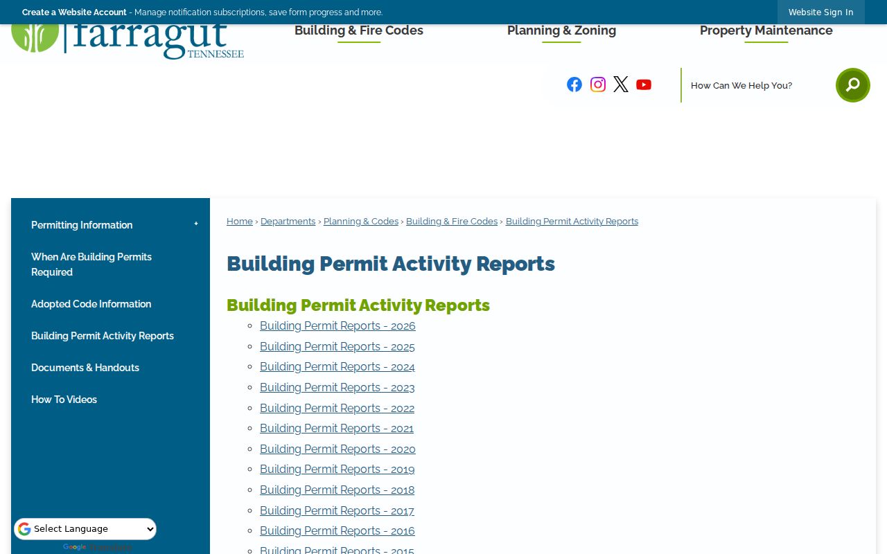
Farragut's Building Permit Activity Reports add a more recent address-keyed source. The town publishes annual PDFs from 2013 through 2026. A permit year can date work at a property, but report formats and labels vary, so examine the individual PDF before treating an applicant or project line as an owner or resident statement.
The linked town report archive is shown here as a practical way to select an annual report for a Farragut address-history timeline.
Permit evidence is strongest when it agrees with the parcel ID, deed description, and a dated aerial. It is a property-activity clue, not a household roster.
Note: Aerials and permits help date a building or project, while names and residence claims require separate, dated records.
Farragut Past Households Through Life Records
When an address trail reaches a death, estate transfer, or family change, use a record that explains the transition. The Knoxville Journal obituary index covers 1885-1906 and can return a name, date, and page for a copy request. Probate books and files available through FamilySearch's Tennessee Probate Court Books and the Archives can identify heirs, administrators, relationships, or dates. They are leads to the actual evidence, not a reason to merge same-name people.
The East Tennessee Historical Society's Tennessee Ancestors and First Families material is also useful when a documented lineage intersects East Tennessee. It requires proof for an application and is not a current-address source.
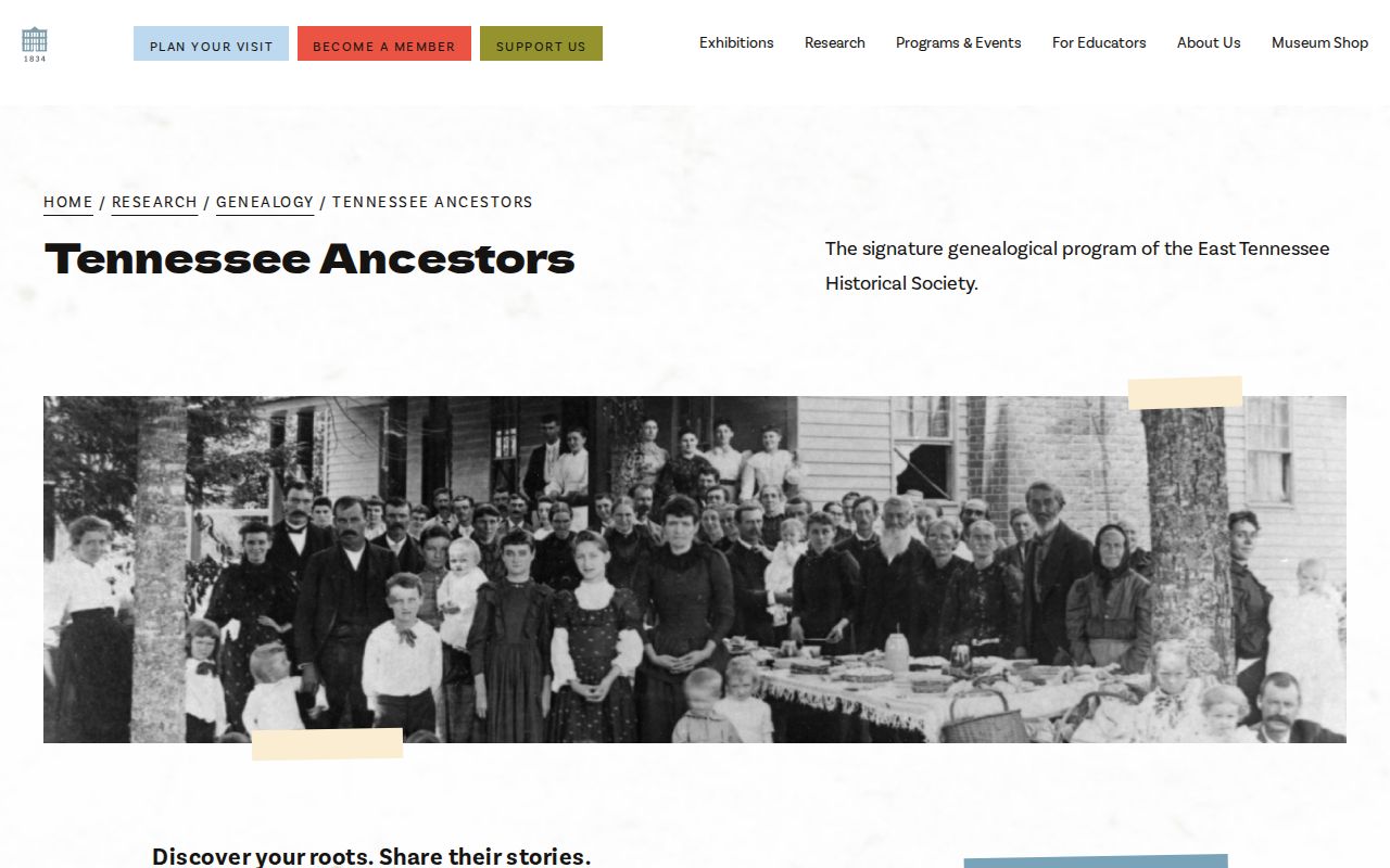
Use historical-society material to preserve a documented family connection, then return to deeds, directories, and archival originals for the address-specific trail.
Farragut Before the Town Records
Farragut incorporated in 1980. A person at an address now inside town limits may therefore appear only in Knox County, a postal label, or an older community name in earlier material. Campbell Station and Concord references deserve the same careful check as a modern Farragut label. Town history and the Farragut Museum and Heritage Trail can help orient a place name, but they do not replace parcel continuity.
Match the parcel, legal description, subdivision, cross streets, historic aerial, directory spelling, and deed parties before connecting two address labels. ZIP 37934's preferred-city update changed a mailing line in 2020; it did not by itself change a parcel.
Farragut House-History Research Visit
Knox County Archives lists a September 12, 2026 workshop, “Researching the History of Your House,” from 1 to 3 p.m., with registration required. It is a direct local opportunity to bring a parcel number, deed notes, directory citations, and questions about records that are not online. McClung reference staff can also help with directories, maps, obituaries, newspapers, and spelling variants. Materials there do not circulate, so record the source title, reel, box, date, page, and variant name before leaving.
Farragut's backward trail is strongest when it stays modest: preserve what the document proves, mark the unknowns, and seek the next custodian record. That approach keeps past residents separate from speculation.