
Farragut ZIP Code Coverage
Farragut is served by more than one postal area, and none should be used as a shortcut for the incorporated boundary. Located sources establish four ZIPs in the broader Farragut service landscape, but only the Postal Service can confirm the proper last line for one address. The Town's survey figures show how respondents identify their mailing area. They are useful context, not a parcel-by-parcel legal map. The table keeps that distinction visible so a postal-area search does not overstate what a route proves.
| ZIP | Associated areas | Post office or routing | Farragut record note |
|---|---|---|---|
| 37934 | Farragut, Fox Den, North Campbell Station | Knoxville-Farragut station | Primary mailing line; preferred city changed in 2020 |
| 37922 | Concord, Pellissippi, South Northshore, broader Turkey Creek area | Depends on exact address | Postal line and town limit can differ |
| 37932 | Hardin Valley, Yarnell, W Gallaher Ferry, western-edge communities | Verify preferred city by address | No parcel-level Farragut proof was located |
| 37923 | Cedar Bluff, Walker Springs, Dutchtown | Knoxville-Cedar Bluff branch | Small survey share; no conclusive Farragut parcel mapping found |
The Town's boundary description uses roads, a rail line, the interstate, and the Loudon County line, not postal zones. That is why a postal-area search is best used as a first geographic filter. The final record test comes from the address, parcel, legal description, and custodian rather than a broad postal label.
Farragut 37934 Postal Shift
On January 11, 2020, the Postal Service changed ZIP 37934's preferred last line from Knoxville to Farragut. The Postal Bulletin notice makes this a useful local example of why mailing history needs a date. The change did not redraw a town limit, alter a deed's legal description, or move the parcel. It changed the recommended postal city for the ZIP.
Older documents may still say Knoxville, especially when a directory, deed request, news item, or census record predates the postal update. A modern Farragut label may therefore refer to the same physical place as a previous Knoxville label. Keep both forms in a research log and compare the road, subdivision, parcel ID, or cross street before deciding they refer to the same address.
Note: A postal preferred-city change is a routing update, not evidence that a property entered the Town of Farragut or changed ownership.
Farragut ZIP Map Layers
KGIS Maps supplies the local bridge between a postal area and an address record. Its postal layer and mobile-search tools give geographic context, while parcel selection opens the owner and property report. The report can show the site address, owner mailing address, parcel ID, subdivision, ward, school zone, political district, and deed clues. A mailing address and a site address can differ, so neither should be treated as a household list.
KGIS address search uses official county address points rather than a simple street range. The research instructions say it works best without city, state, or ZIP appended to the search. Once the correct address point appears, use the parcel report to see the stronger parcel facts. The Town map collection can add zoning, wards, subdivisions, school zones, and road context, but those layers are not resident rolls.
Farragut's boundaries around I-40/I-75, Turkey Creek Road, the Norfolk Southern Railroad, Lovell Road, and the Loudon County line help explain why one postal area can include several nearby communities.
Find a Farragut ZIP
Use an exact address to verify the mailing line before searching records by geography. The official USPS lookup has address, city-and-state, and cities-by-ZIP modes. The address mode is the safest choice when similar street names, apartment units, or overlapping community labels are involved. A ZIP result narrows the area, then KGIS and the Register of Deeds supply the parcel and legal-record steps. The property portal was in maintenance during research, so its ZIP-wide search option was not confirmed.
- Enter the full street address in the USPS address mode and keep the recommended last line.
- Search the street address in KGIS without adding city, state, or ZIP, then choose the matching address point.
- Open the parcel report and save the parcel ID, site address, subdivision, and recorded-deed clues.
- Use the owner, legal description, and approximate date to request a recorded document when the question requires it.
- After a ZIP has narrowed the area, use the Farragut street directory for the address-keyed record trail.
USPS also documents the exact inputs for each lookup mode:
| USPS mode | Field | Required | Use |
|---|---|---|---|
| By Address | Street Address | Yes | Confirm one address |
| By Address | City and State | Yes | Test the mailing line |
| By Address | Apt/Suite or ZIP | No | Narrow a unit result |
| By City and State | City and State | Yes | Find recognized ZIPs |
| Cities by ZIP | ZIP Code | Yes | Review recommended city names |
Farragut ZIP Search Limits
Not every public system accepts a ZIP-only query. Tennessee's voter lookup requires county, first name, last name, birth month, and birth year. It is a registration match tool, not a way to browse everyone in a postal zone. Knox County's separate voter-data USB requires political-purpose certification, and protected records can be withheld. The Assessor's live form did not render during inspection, so a ZIP-wide property result should not be promised until the portal is confirmed.
Farragut permit reports are also not ZIP-filtered. They are annual PDFs organized by year from 2013 through 2026. Town maps and school-zone maps show geography, but they do not name every person within a postal area. For a public-record request, state the record type, address or parcel, date range, and the narrow fields needed rather than asking an office to assemble a whole-ZIP resident list.
Note: Preserve the USPS result date because routing and preferred-city information can change without changing the land record beneath it.
Farragut Postal Place Names
Postal labels, town limits, and historical place names are three different systems. In older material, the same Farragut-area place may appear as Knoxville, Concord, Campbell Station, Kingston Pike, or a subdivision name. The difference may reflect a mailing convention or the date of the source, not a move. A historical city directory can help with a street spelling, but KGIS, a recorded legal description, and a deed chain are stronger proof of the underlying parcel.
The Farragut Branch Library source routes local visitors to Knox County Library services, including historical and reference resources.
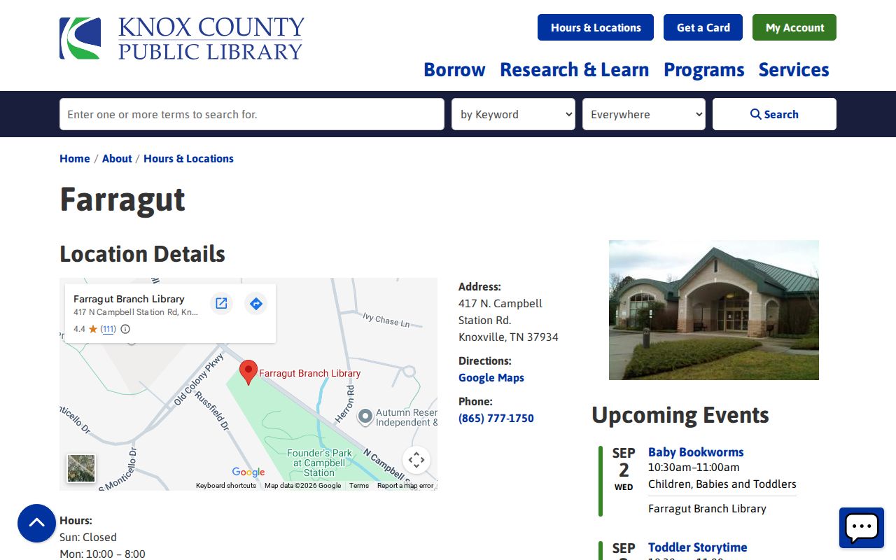
Library resources can help compare older place labels, while USPS and KGIS remain the better checks for a present mailing line and parcel location.
Farragut ZIP Code Boundaries
A ZIP code is a postal delivery tool, not a municipal boundary. The 37934 change shows how the final mailing line can shift without a change in parcel geography. The Town survey found its largest response concentration in 37934, followed by 37922, 37932, and a small 37923 share. Those figures help explain local confusion, but they do not prove that every address in a given zone sits within Farragut. Confirm the exact address with USPS and then use the parcel report for a records question.
- ZIP and ZIP+4
- The five-digit ZIP identifies a broad delivery area. ZIP+4 adds a more precise delivery segment, such as part of a block or a building.
- PO-box ZIP
- A ZIP assigned for post-office boxes or a postal function. It does not by itself describe a street-address boundary.
- Unique ZIP
- A ZIP used for one large organization or destination. No Farragut-specific unique ZIP was established in the located sources.
- Carrier route
- A delivery sequence used by the Postal Service. It is not the same as a town ward, legal parcel, or resident register.
Boundary caution. Do not infer who lives at a Farragut address from a ZIP, a mailing line, or a parcel owner's mailing address. Verify each record with its custodian.
Farragut Address Record Tests
When ZIP evidence conflicts, test the address in a deliberate order: USPS for routing, KGIS for the official address point and parcel, the legal description for the land, and the recorded instrument for transfer history. A legal description may use lot, block, subdivision, or metes-and-bounds wording, so it cannot be swapped casually for a street address. Parcel changes, partial conveyances, and changed road names are reasons to compare more than one field.
The Register of Deeds copy-request guidance directs users to find the property through KGIS before requesting a deed. For older material, compare directory street spelling, historic aerials, road or cross-street references, and the deed chain. This preserves a clear distinction between postal routing, physical location, and the legal record.
For a changed address, retain each version rather than overwriting it with the modern mailing line. Write down the source, exact address spelling, postal last line, parcel ID, legal description, date searched, and record number or book and page. KGIS historical aerial layers can show when a road, structure, or subdivision changed, but they cannot identify an occupant. The same caution applies to a current parcel owner: ownership and a mailing address are record facts, not proof that every person at a location shares that ZIP or lives there now. A dated, source-by-source log makes a later correction much easier and preserves the reason for each geographic match.